

Don't get caught in the storm

The Yarmouth 2024 storm and the Groundhog Day gale of 1976.

How Flood Maps Can Help You Plan Better

Why flood mapping could help avoid finding yourself in this situation!

In 2024, extreme coastal flooding hit Yarmouth, Nova Scotia, causing flooding on the roads and difficulty for some drivers to get across. Here are some pictures of some unlucky drivers caught in the storm that day.
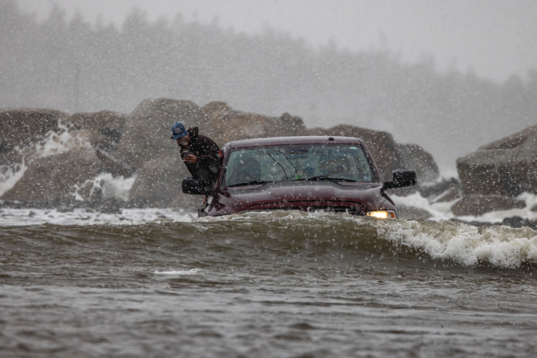

Plan your route

Did you know that even 6” of water can drag vehicles off the road? That’s why flood mapping visualization helps us avoid these types of situations. With flood visualization maps, one can see how different flooding scenarios might occur along the coastlines during different tide and storm surge levels. So, if you know that a storm is coming, you can check out the areas that will be more prone to flooding and avoid them, as well as better prepare your household for the risk of flooding!

Historical events: 50 yrs from the Groundhog Day gale of 1976

It was a seemingly normal mid-winter day when the gale hit Yarmouth Feb. 2, 1976. With winds that went over 160 kilometres per hour, the region was hit with extreme flooding. Folks at the time say “The storm, packing winds over 100 (miles per hour) caught everybody by surprise”.

Still to this day, folks will compare storms to this one.

Source: 50 YEARS LATER: Remembering the ‘vicious’ Groundhog Day storm that battered southwestern N.S. | PNI Atlantic News

Photo credit: Ervin Olsen.

Interested in learning more about how to be prepared during an emergency? Follow the link below.

Launch the Document for Emergency Preparedness