With climate change and rising sea levels increasing flood risks, our 3D visualization tool can simulate a range of scenarios, so that your community can become more resilient through preparedness.
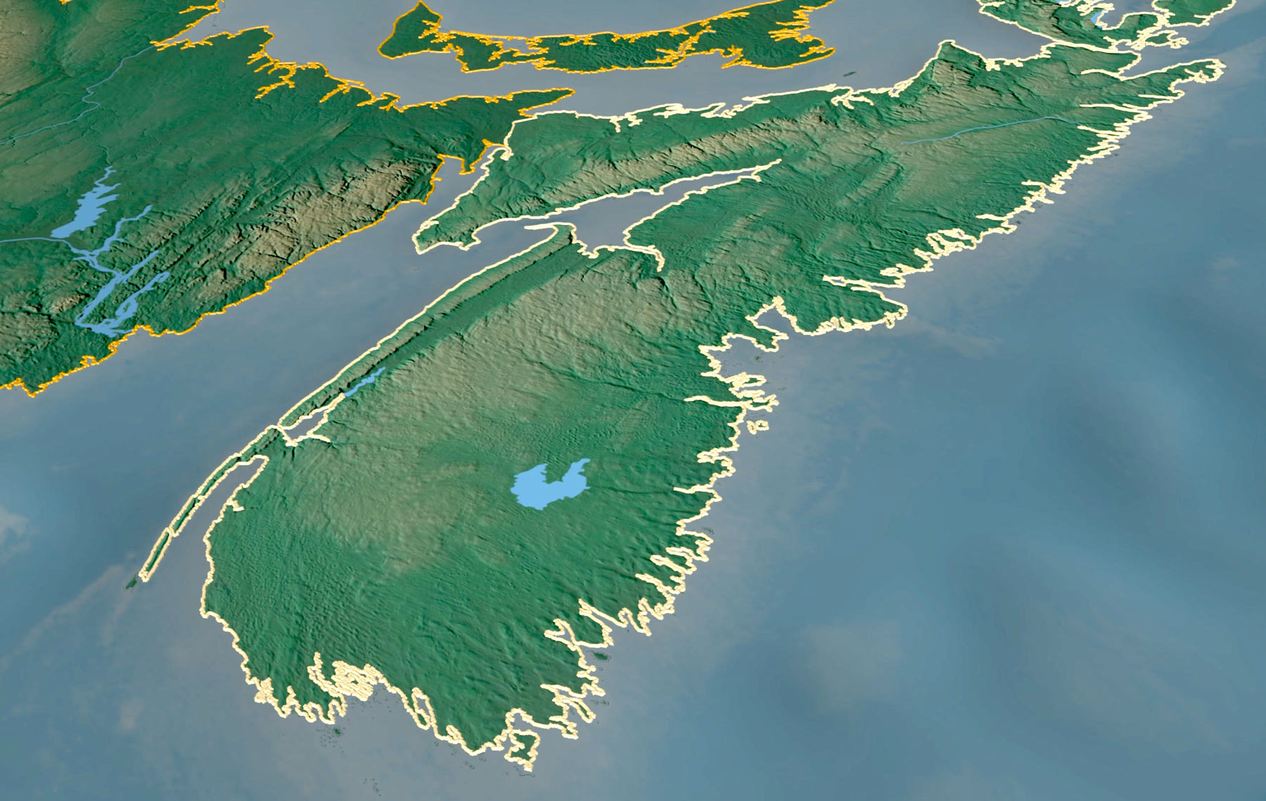
70
of NS residents live within 20km of the coast
Understanding Flood Risk in 3D
Our 3D maps helps Nova Scotians better understand how coastal flooding may affect communities across our province as sea levels rise. By turning complex information into something you can see and explore, with a variety of scenarios, this tool supports local governments, educators, emergency services, and the public in planning ahead and working together to protect our coast and the places we call home.
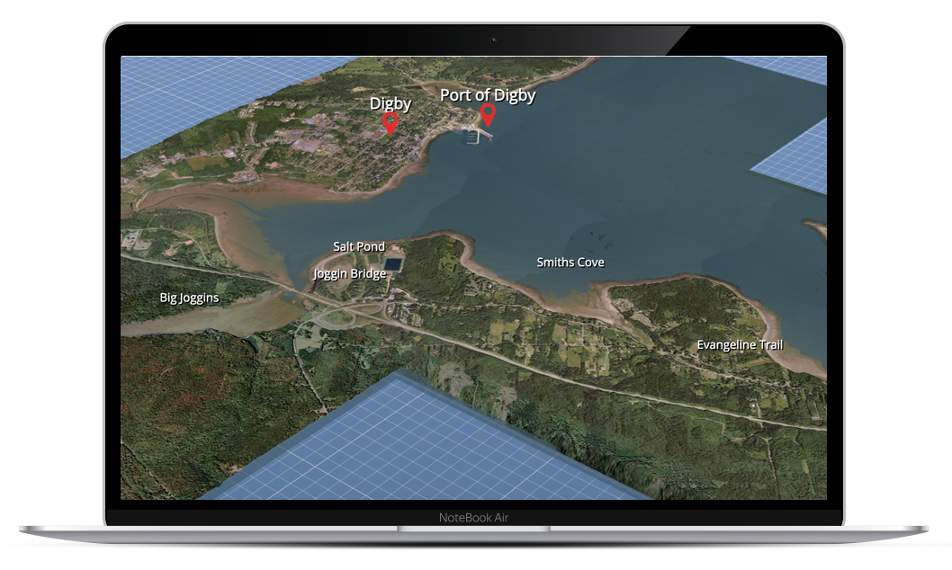
3D Flood Maps
Explore our 4 maps, currently available for Digby, Yarmouth, Mahone Bay, and Lunenburg & Blue Rocks. Hover over the map pins to learn more about various scenarios for each location.