Skip to main content
Hit enter to search or ESC to close
Close Search
Menu
Home
3D Maps
The Municipality of the District of Digby
Important features to note in this map are the embedded videos, the infographic, the educational material, and the video walkthrough provided.
The Municipality of the District of Yarmouth
Important features to note in this map are the presence of the historical Groundhog Day gale of 1976 scenario, which is embedded in the map to visualize.
The Town of Mahone Bay
Important features to note in this map are the conceptual designs for the Living Shoreline project in Mahone Bay.
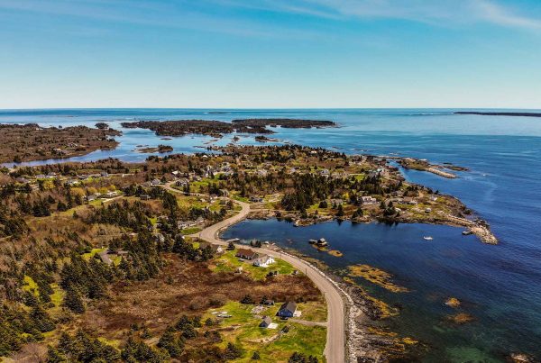
The Town of Lunenburg and Blue Rocks
Important features to note on this map include the inclusion of structures at risk that are of particular interest to the community, as well as some historical photographs.
Resources
Infographics
Resources, Reports & Papers
Storytelling
FAQs
Storytelling
How has our 3D Visualization tool helped communities in Nova Scotia? This is where we share the stories that have been submitted by community members on their experience with flooding.
Ties between flood mapping and the living shoreline
Close Menu
Home
3D Maps
The Municipality of the District of Digby
Important features to note in this map are the embedded videos, the infographic, the educational material, and the video walkthrough provided.
The Municipality of the District of Yarmouth
Important features to note in this map are the presence of the historical Groundhog Day gale of 1976 scenario, which is embedded in the map to visualize.
The Town of Mahone Bay
Important features to note in this map are the conceptual designs for the Living Shoreline project in Mahone Bay.
The Town of Lunenburg and Blue Rocks
Important features to note on this map include the inclusion of structures at risk that are of particular interest to the community, as well as some historical photographs.
Resources
Infographics
Resources, Reports & Papers
Storytelling
FAQs