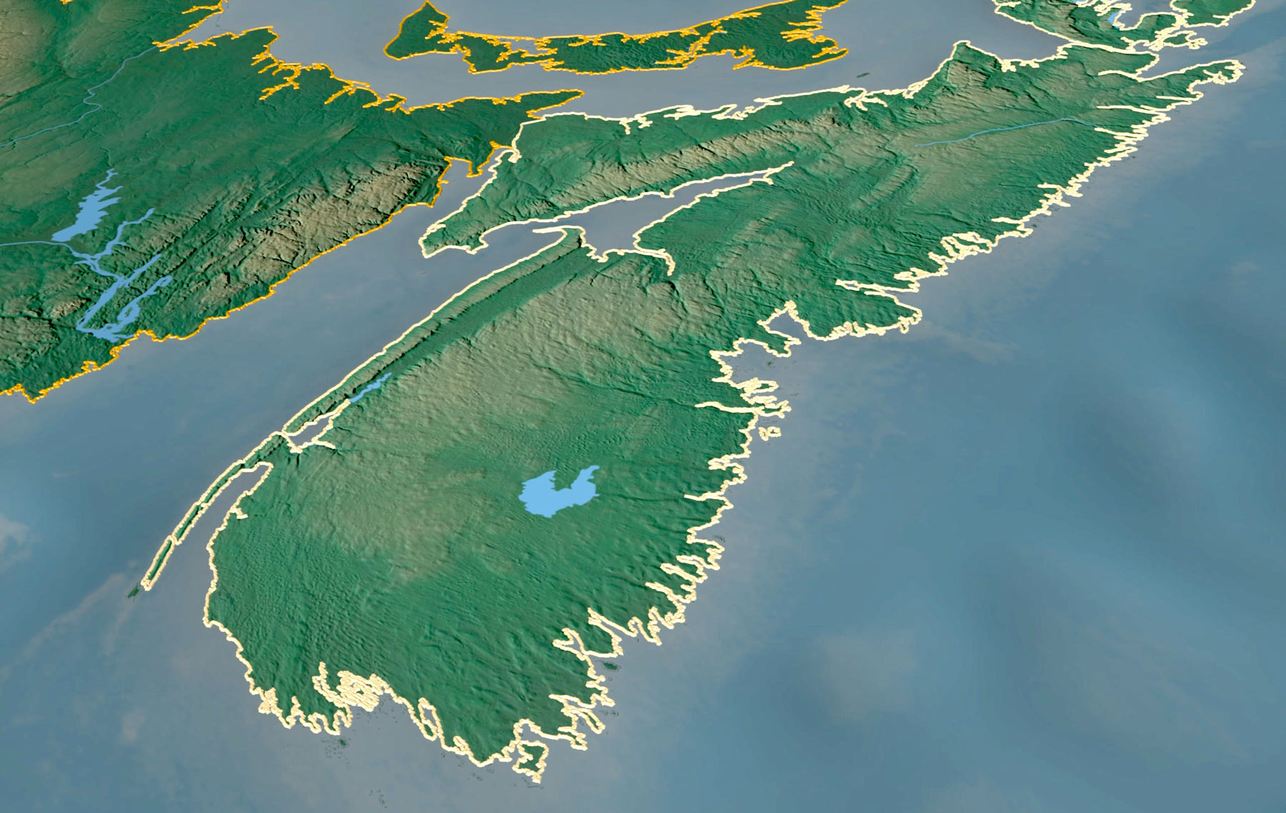
The climate is changing, bringing uncertain scenarios, particularly for coastal areas. Warming temperatures will affect the sea level, bringing strong storm surges that might damage coastal communities. View your community with this 3D flood visualization tool and better understand how climate change might affect your area.
With this tool, we aim to allow the interactive visualization of different flooding scenarios. With the interactive toggles in the map, you can choose different tide and storm levels and see how the flooding will affect your community. You can also visualize the different flooding scenarios with climate change in mind. This can help plan for future challenges along the coastline, help emergency response plans, and help municipalities to implement mitigation and adaptation strategies for the future.
Want to learn more about climate change and flooding? Our resources page can help you out!